GPS Mapping Chicago Trails — Part 1: Schiller Woods
This is part 1 in a series of blog posts where I am taking a deep dive into the world of GPS trail mapping. In this part of the series we're going to introduce the subject forest I will be mapping and explore my motivation for this project.
- GPS Mapping Chicago Trails — Part 1: Schiller Woods
- GPS Mapping Chicago Trails — Part 2: Software
- GPS Mapping Chicago Trails — Part 3: Putting It All Together
⦾ Intro
Recently I've been spending time walking the trails in Schiller Woods South, a section of the Forest Preserve District located in the Chicago suburbs. Specifically, I have been starting my walks at "Hidden Hill" which is accessed via the Che-Che-Pin-Qua Woods entrance on Irving Park Road.
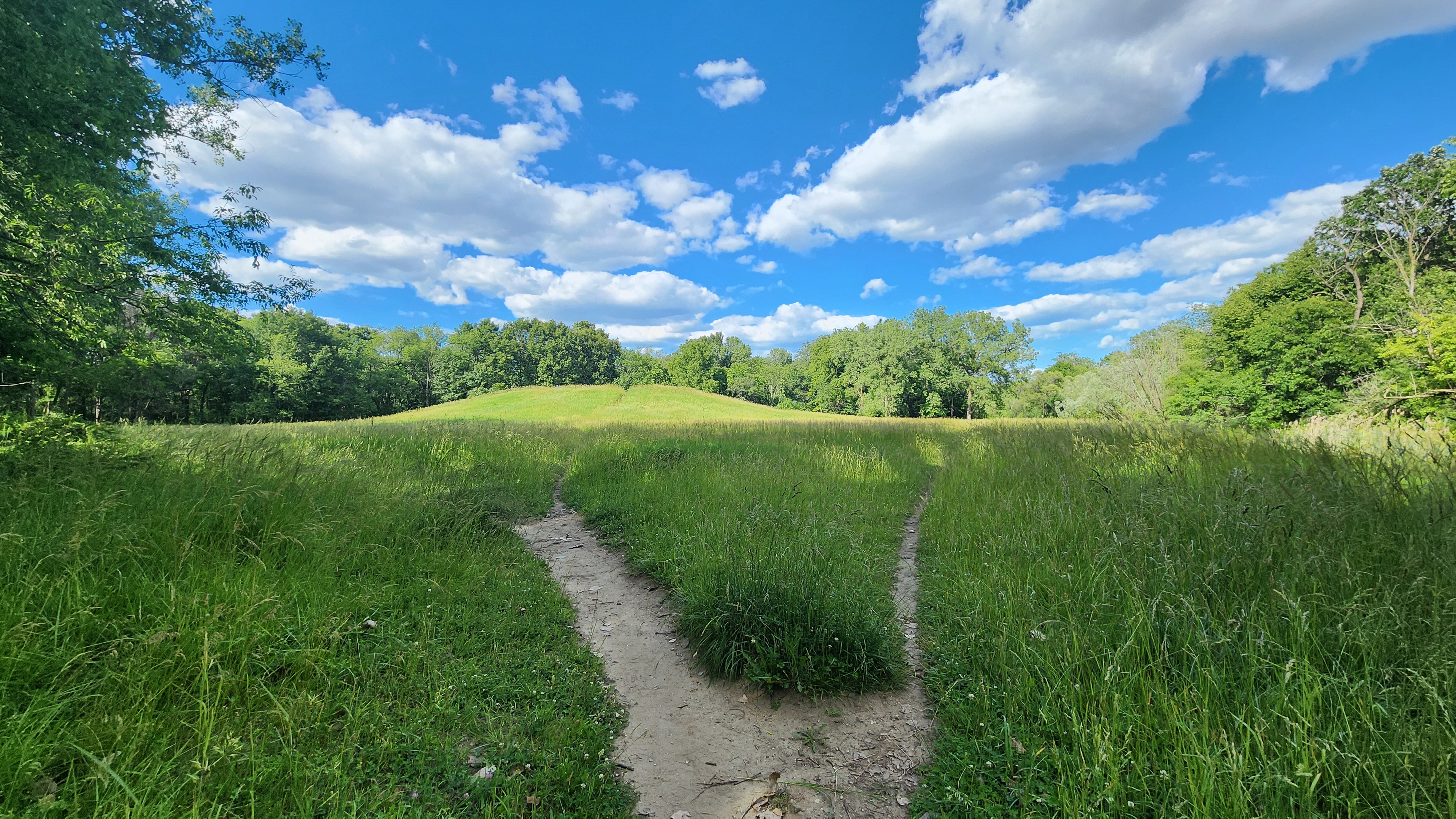
My birthday passed recently. To celebrate I took that week off from work. With this free time I thought that I could go map the trails in these woods and post them all online for people to enjoy. I had several days set aside for this and all that I had to do was walk just a few miles of trails, post-process the data, and get it uploaded. How hard could it be?
Nominally speaking, it's not very difficult at all to record some GPS tracks and
upload them online. As the saying goes, there is an application for that.
However, for the case of Schiller Woods South ("SWS" from now on), this turned
into a series of rabbit holes, emails, and a lot of unexpected learning.
In this post I will try to distill what I learned. If you find that you are interested in this kind of project yourself then you may find this information useful. If not, then stick around for the trail pictures and pretty maps.
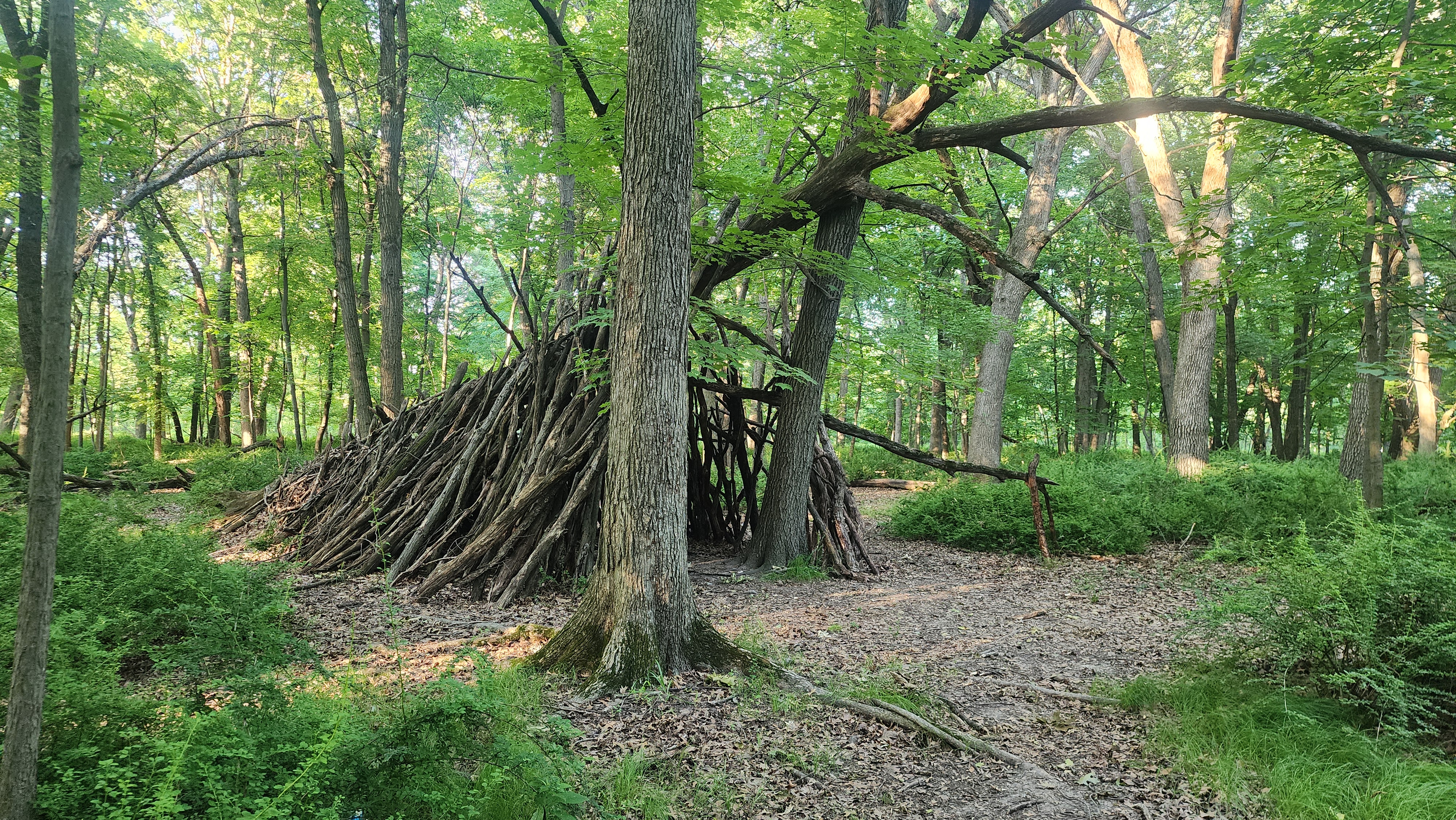
⦾ Why is this Interesting?
Why did I find this interesting enough for me to post about it? Because of inconsistency and incompleteness. The data available drove me mad. Let's go on a brief tangent, shall we?
At first I thought that the trails in SWS weren't documented online at all. In fact, if you take the Web Map link from the FPCC (Forest Preserve of Cook County) page for this region, you won't find any evidence of the trails I am talking about.
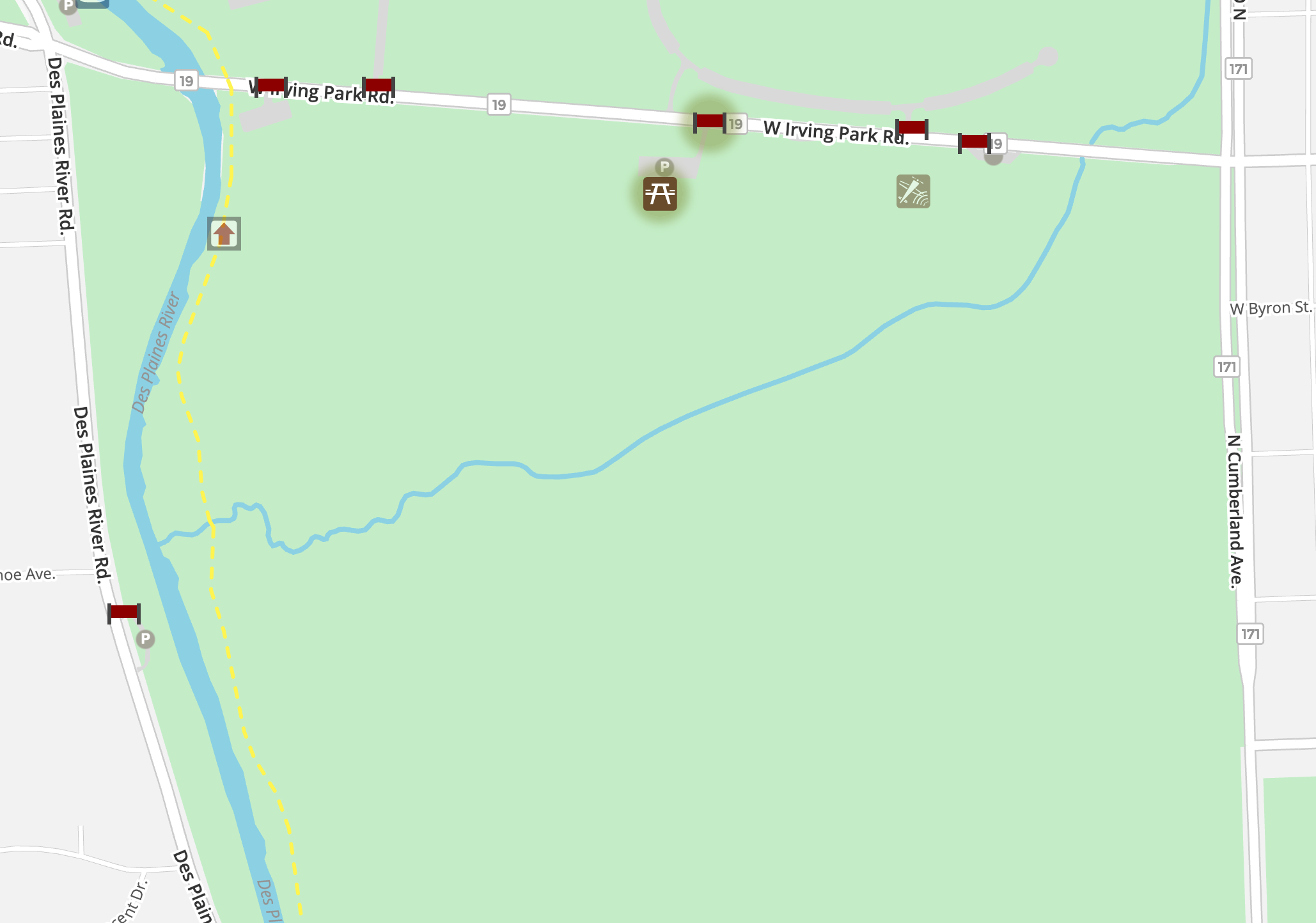
For a reasonable person this would be the natural conclusion. The official source does not document the trails. Therefore, they are unofficial. But then I found this when I pulled in OpenStreetMaps data to overlay my first GPS recording over.
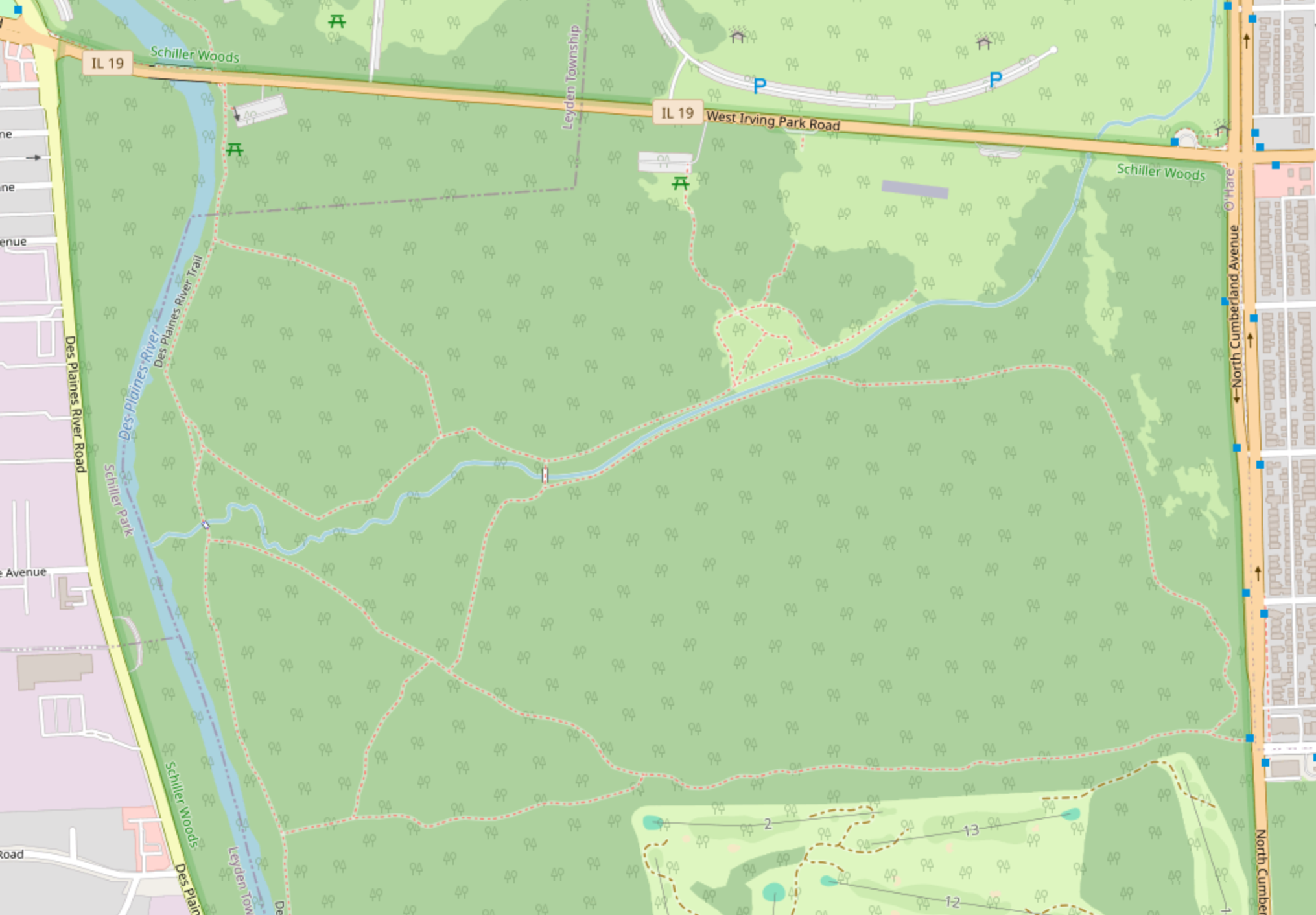
Trails. Many trails.
Some of these trails you see below were added almost 14 years ago on OpenStreet Maps. Some trail data have been added or edited as recently as 2 years ago. Some trails you can walk in real life aren't represented here.
I wish I could have seen it back then, before the Japanese Barberry established itself.
"What's Japanese Barberry?"
If you go to the Hiking Project (app or website) you can see that there are some trails in a section that's labeled Schiller Woods South. However, these trails aren't in Schiller Woods South.
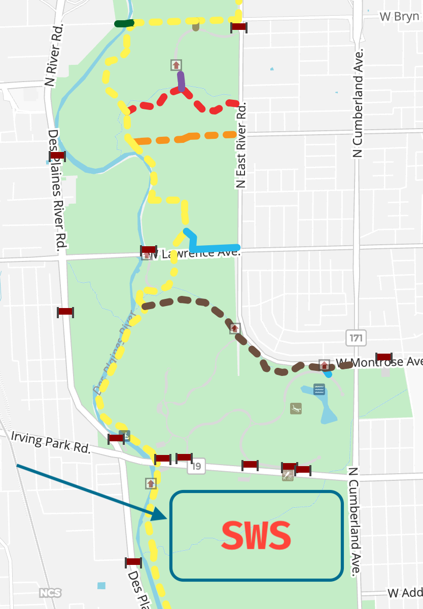
Conspicuously missing are entries of the actual trails in the SWS region. The spurs and trails displayed in that image are in the Schiller Woods West and East regions, as well as the Robinson Woods and Catherine Chevalier woods regions.
Now what really chaps my ass about this is that the Forest Preserve of Cook County itself was the one uploading the data to the Hiking Project. As of 2024-06-28, FPCC is #55 with 1,668 points on the Hiking Project contributions leader board.
Unfortunately, it seems that their time with Hiking Project has come to an end. Their profile lists their join date as March 2016 and their last visit to the site as July 2018.
Don't get me wrong, I do appreciate their significant contributions, I'm sure that was a massive boon to the project at the time and helped it grow quite a bit. I just include this as a record of the things that drove me mad as I was starting this project.
Oh yeah, that's right. We were talking about my mapping project weren't we?
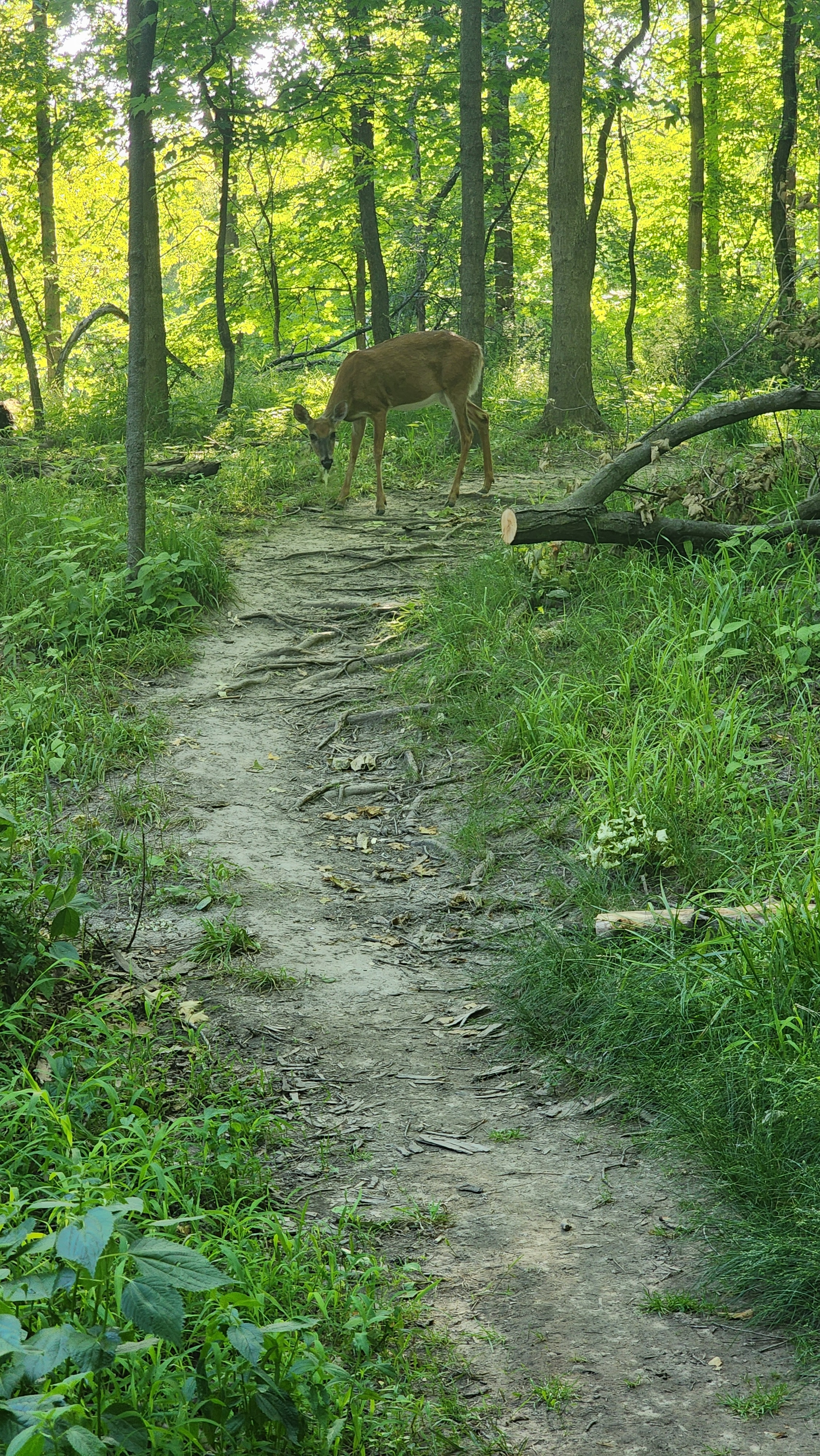
I have broken this subject into a series of posts because I would have never finished if I tried to write it all at once.
If you've enjoyed the story thus far, please join me in part 2 where I begin exploring assorted GPS software and the GPX data exchange format. It's thrilling.