Correction to Chicago Outer Belt Trail - Map 27 La Grange/Forest Park
Due to some new fences, there is now a routing error in the Chicago Outer Belt hiking trail maps. This post shows you where the error is and how you can route around it.
Last summer I began hiking the >200 mile long Chicago Outer Belt Trail. It's a lot of hiking and I'm having a blast. If you sign up you can download the GPX track from REI's Hiking Project website. I'll save you the effort and include a direct link to the file on my blog.
I started this hike using the maps posted on the Outer Belt website for reference material. I suggest you import the GPX file into your hiking app or dedicated device (I'm using a Garmin 66i and I would recommend it) for easier reference.
I've found the route has been clearly mapped out and accurate, with one exception. That is in the area referred to as "Map 27 La Grange - Forest Park".
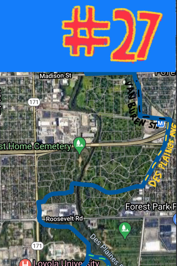
The map, and the actual GPX track, takes a shortcut through the Forest Home Cemetery. This segment of the route, as it is documented today, is no longer a valid segment.
⦾ New Fences
I learned this when I was heading south, that is counter-clockwise, down the route. I was hiking down Des Plaines Ave just after passing I290 (Eisenhower Expy) when I came upon the cemetery. In this direction of travel the PDF map and the GPX track will have you enter the cemetery through the rear parking lot of the Grand Park Apartments:
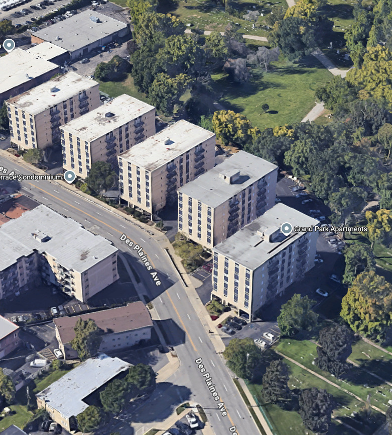
That path is entirely closed off now. There are fresh chain link fences installed with a row of barbed wire to top them off. This new fence extends all of the way around the cemetery (I have checked).
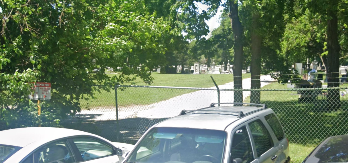
In order to continue the trail in either direction of travel you need to adjust your route accordingly.
⦾ Respect the Deceased
If you choose to travel through the cemetery, please ensure you respect the deceased. Or just consider bypassing the cemetery entirely.
If you do plan to travel through the cemetery keep this in mind: the gates close at 4PM.
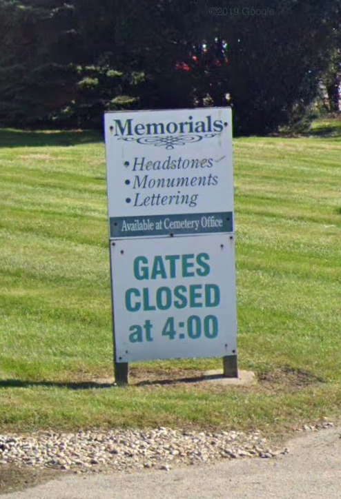
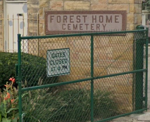
Don't be that asshole climbing over the cemetery fence because you wanted a shortcut and you got locked in.
This route will allow you to safely travel through the cemetery during the hours they are open to the public:
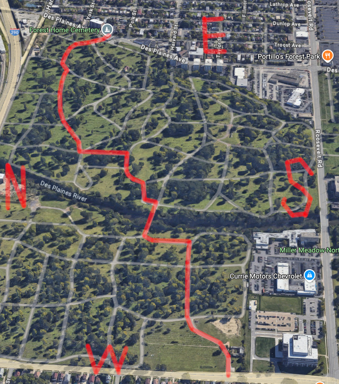
⦾ What I Chose Instead
When I reached this point in my travel I was flummoxed. I did a little bit of scouting on foot and ultimately gave up. When I gave up on the apartments and cemetery (I didn't want to chance it) I settled on continuing south on Des Plaines Ave until I reached Roosevelt Road.
This is a map of my GPS recording when I was hiking that day.
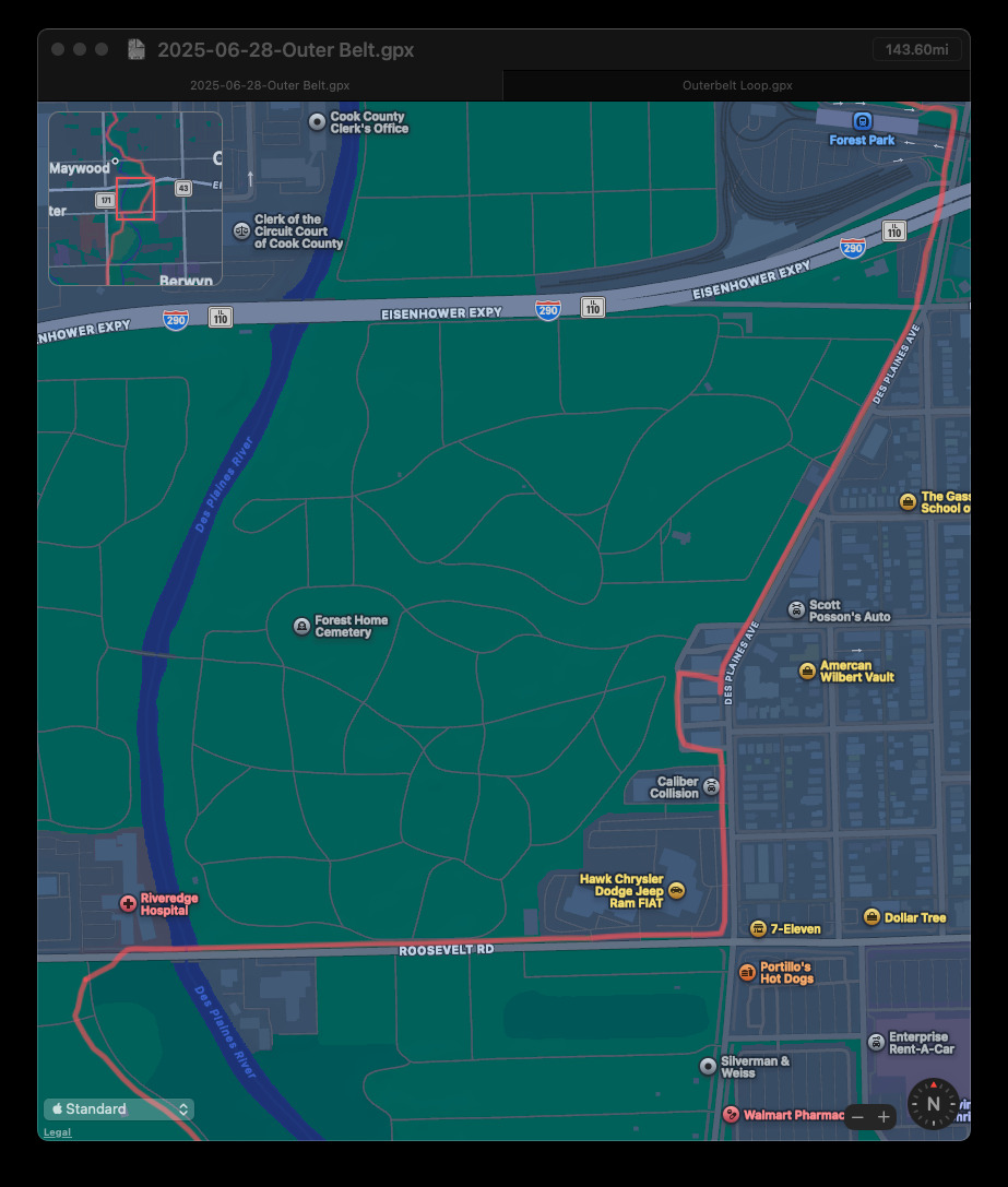
That is a very stressful road to walk down.
I followed it west, over the Des Plaines River, until I found the entrance to Miller Meadow-North. I waited for traffic to calm a bit and then darted across the road to get back on the trail.
I hope this helps out anybody else who is taking on the Outer Belt trail.
Good luck, and watch your step out there!